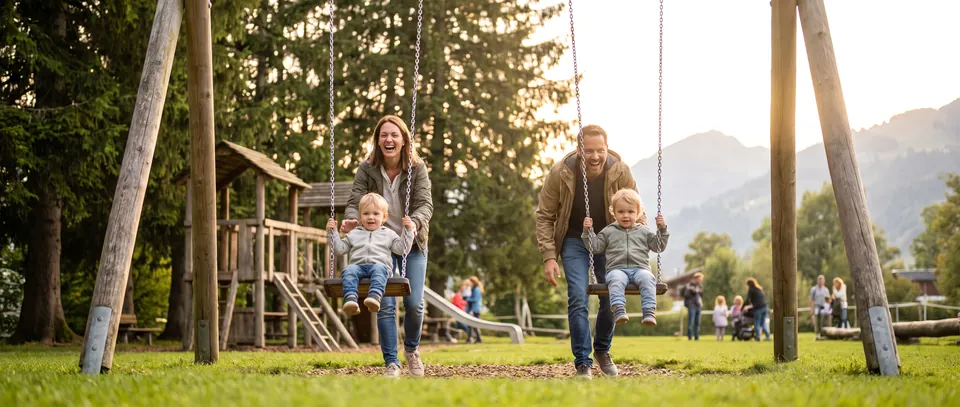
Savigny's 200th Anniversary Trail
A walk where you scan QR codes to watch video capsules about the history of the village? Savigny has laid out a documented trail for its 200th anniversary, with 8 relay points. Be warned, it is a big 16.7 km loop: with children, it is better discovered section by section.

Good to know
Kidora helps families enjoy wonderful experiences across French-speaking Switzerland.
Savigny's 200th Anniversary Trail photo gallery
Practical information
Address
Place du Forum, 1073 Savigny
Savigny · Vaud
Place du Forum, 1073 Savigny
Savigny · Vaud
Accessibility
Weather in Savigny
- Today ☁️ 18° 10°
- Fri 16 ☁️ 20° 12°
- Sat 17 🌧️ 13° 7° 65%
- Sun 18 🌦️ 7° 6° 58%
- Mon 19 🌧️ 8° 5° 41%
- Tue 20 🌫️ 17° 6°
- Wed 21 ⛈️ 14° 10° 36%
A documented loop for the 200 years of the commune
To celebrate its bicentenary in 2025, Savigny laid out and signposted a documented route across its whole territory. The trail opened on 20 April 2026 and is published on SuisseMobile. Its distinctive feature is its eight relay points: panels fitted with QR codes that give access to video capsules and explanatory texts about the history, the places and the people of the commune. So you do not simply walk, you discover the village step by step, screen in hand.
Worth knowing before you set off: it is a long route
Let us be clear, because this is the most important point on this page. The trail forms a loop of 16.7 kilometres with about 341 metres of ascent, between 787 and 899 metres above sea level. SuisseMobile estimates the walking time at around 4 hours 10, excluding breaks. This is a hike for adults or older children used to walking, not a Sunday stroll with little ones. The good news is that the eight relay points naturally break the route up: nothing obliges you to do it all at once, and families gain from discovering it over two, three or four outings.
What your children will discover
It is the video capsules that make the difference from an ordinary walk. At each panel you take out the phone, scan the QR code and listen to what the stage has to tell. For children, this turns walking into a treasure hunt: the next relay becomes a goal. Between the stages, the route crosses the farmland of the upper village, the hamlets and the fringes of the Jorat forest, with fine views towards the Alps in clear weather.
What you do there and the atmosphere on site
You walk, you scan, you talk it over. The route stays between 800 and 900 metres above sea level, so there is no steep climb: it is the distance that makes the effort, not the gradient. The waymarking and the SuisseMobile track let you start and stop wherever you like. With young children, the best approach is to pick a section with two or three relays, walk it there and back, and come another time for the next part.
Before you go
- Recommended age: from 8 for good walkers on one section; the full loop is more for teenagers and adults
- Duration: about 4 hours 10 of walking for the full 16.7 km, or one to two hours per section
- Price: free
- Booking: none, a signposted trail with open access
- Pushchair access: not recommended, the route follows country lanes and paths
- Transport: CarPostal lines 360 and 365 from Lausanne-Sallaz, Savigny, Centre stop; start and finish in the village centre
- What to bring: walking shoes, water, a snack, and a charged phone to scan the QR codes
- Best season: spring to autumn, in clear weather to enjoy the view towards the Alps
Parents' tips
- Break the loop up: with children, aim for two or three relays per outing rather than 16.7 km in one go.
- Charge the phone and check your data plan before setting off, the capsules are videos.
- The route is published on SuisseMobile: download the track before leaving, as coverage varies in the forest.
- Make every panel a goal to reach, it is the best motivation for young walkers.
- Combine a northern section with the Étang du Gresaley and its neighbouring playground for a proper half day.
Useful information
- Start and finish: centre of Savigny, Place du Forum area, 1073 Savigny (Vaud)
- Length: 16.7 km, about 341 metres of ascent, altitude between 787 and 899 metres
- Duration: about 4 hours 10 of walking according to SuisseMobile
- Opening: trail opened on 20 April 2026, freely accessible all year round
- Price: free
- Information and link to the track: commune of Savigny website, Balades et circuits section
Why we recommend it
Because the idea is rare: instead of simple waymarking, eight panels tell the story of the commune on video, and that changes everything for children who drag their feet. On one condition: the trail is long, and a family setting off without checking the distance will end up carrying the youngest after three kilometres. Taken section by section, it is a lovely way to discover Savigny.
In a nutshell
A signposted 16.7 km loop opened for the bicentenary of the commune, dotted with 8 QR code panels and video capsules: fascinating as a family, provided you discover it section by section.
Looking for more ideas nearby? Discover all our activities in Savigny.


Parking nearby
-
58 m away 1 min walk
Car park
-
63 m away 2 min walk
Car park
-
160 m away 3 min walk
Car park
80 spaces
-
71 m away 2 min walk
Car park
-
91 m away 2 min walk
Car park
-
94 m away 2 min walk
Car park
-
95 m away 2 min walk
Surface car park
8 spaces
-
106 m away 2 min walk
Car park
Public car parks, please check on site. © OpenStreetMap
Nearby activities
 Ancien Collège Playground in Savigny
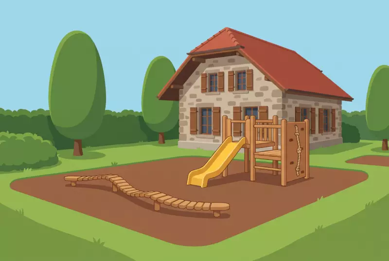
Looking for a quiet playground for young children in Savigny? Behind the Ancien collège, away from the road, a play combination, a moving balance snake and a climbing wall keep the little ones busy. Free, and the village toy library is a step away.
View listing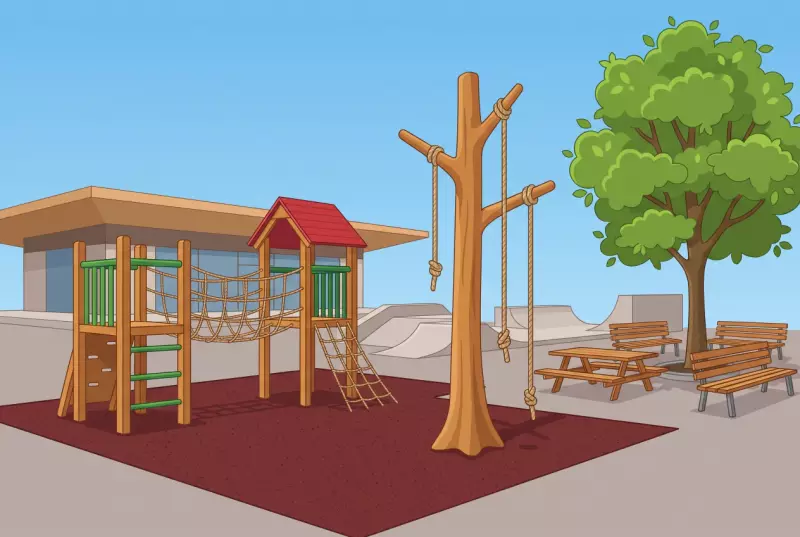 Forum Playground in Savigny
A playground in the village centre, with a skatepark and a multisports court right next door? On the Place du Forum in Savigny, children climb the towers and the climbing tree while parents settle at the picnic table. Free and open all year round.
View listing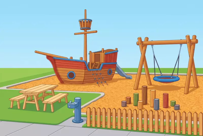 Chemin de la Verne Playground in Savigny
The newest playground in Savigny? It is the one on the chemin de la Verne, entirely demolished and then rebuilt. A big boat, a large swing, a balance grove, a drinking fountain and black locust furniture, all behind a new fence. Free.
View listing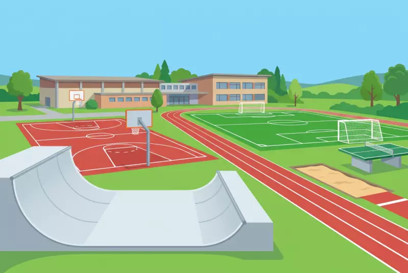 Savigny Sports Ground, Open Access
A skatepark, a basketball court, a synthetic football pitch, an athletics track and a table tennis table, all free and with no booking? In the centre of Savigny, the outdoor sports facilities are openly accessible, right beside the Forum playground.
View listingFrequently asked questions
How long is the 200th anniversary trail?
Is the route suitable for children?
How do the QR codes work?
Is the trail free?
Where does the route start?
Can we do it with a pushchair?
How long has the trail existed?
Kidora supports local associations
We highlight associations committed to children and families in French-speaking Switzerland.


Written by

Is something out of date?
Opening hours, prices, closures: information can change. Help us keep this page accurate.
Weather data: Open-Meteo.com (CC-BY 4.0)